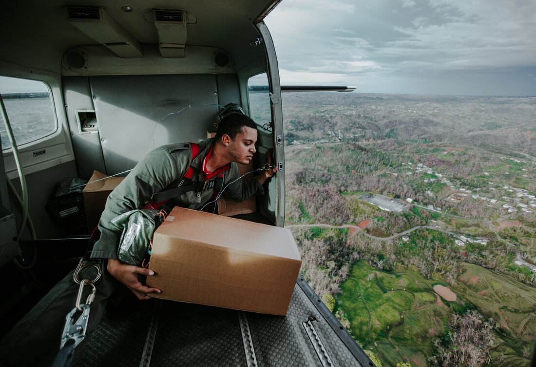
GPS guided software solutions for air drop operations
Understanding the physics, rules and regulations and requirements of air drop systems is not simple.
Inquire to Learn morEPlan Air Drop Missions
The DASH Mission Planner is designed from the ground up to increase the success, accuracy and ease in performing civilian airdrops. The easy to use interface can be integrated with multiple mapping solutions to provide satellite, hybrid or street maps and a simple point and click interface to plan out the air drop mission. One click allows the evaluation of any location for air drop missions and assistance with creating and submitting flight plans for pilots. No difficult training or expertise necessary to setup and evaluate air drops for your organization.

1304
Airdrops
230
Top 10 Results
12
Drone Camera Strategies
16
Dash Camera
Strategies
Real Time Mission Monitoring
Real Time sensors collect various information including GPS, aircraft orientation and ground speed to determine all parameters relevant to an airdrop mission. Drop light logic will not allow an airdrop unless all parameters are within the specification set by you. Prevent missed drops, location confusion and packaging failure due to not following proper procedure. Reduce pilot training by having drop information calculated and displayed in real time requiring only the ability to fly through a final approach similar to any landing.
After Mission Reports
All parameters and location information is recorded during flight and may be conveniently exported or used to create reports and audits to confirm proper protocol was followed.
Conversion into google earth files or integration with photos and video to provide auditable, tamper proof data of each air drop mission.
Setting up an air drop mission is now simple
By combing air drop calculations with a mapping solution you can quickly determine the suitability of a location for an air drop operation and compliance with aviation regulations.
Wind vector may be input or calculated in real time to compensate for drifting. All information may be output as GPS coordinates for quick entry into navigation systems or communication with ground crew.

